Brightwood: A History of Upper Georgia Avenue
Brightwood is a residential neighborhood in the northern tip of Washington, D.C., strung along Georgia Avenue NW in Ward 4 between Petworth and the Maryland line, near Takoma, Shepherd Park, and Manor Park.30 Its history runs from a colonial toll road and a rural crossroads to the Civil War battle that reached the edge of the capital, an early free African American community, a streetcar suburb, and the home of Walter Reed. This page is the short version; the timeline gives the dated outline, and the resources page lists the archives behind it.
A road, a racetrack, and a name
The spine of the neighborhood came first. What is now Georgia Avenue began as the privately owned 7th Street Turnpike, a toll road laid out in the early 19th century to carry farm traffic toward Rockville, Maryland.1 The city bought the turnpike and abolished its tolls in 1871, and by the late 1880s the stretch was known as Brightwood Avenue.2 It received its present name, Georgia Avenue, through a federal act championed by Georgia Senator Augustus Octavius Bacon, enacted in 1908 and effective the following year.3
The neighborhood's own name is older and more roundabout. The settlement was first called "Brighton," and was renamed "Brightwood" around the mid-19th century to stop the Post Office from confusing it with Brighton, Maryland.4 (A common local story treats "Vinegar Hill" as an earlier name for the whole neighborhood; it was not — Vinegar Hill was a distinct community within the area, described below.7)
For half a century the crossroads was best known for horse racing. A half-mile track operated near here from 1859 to 1909 under a succession of names — Crystal Spring, the Washington Trotting Course, and finally the Brightwood Driving Park — before it was cleared for the northward extension of 16th Street.5 In 1894 the unemployed marchers of "Coxey's Army" camped at the track on their way to petition Congress.6
Vinegar Hill and the free Black community
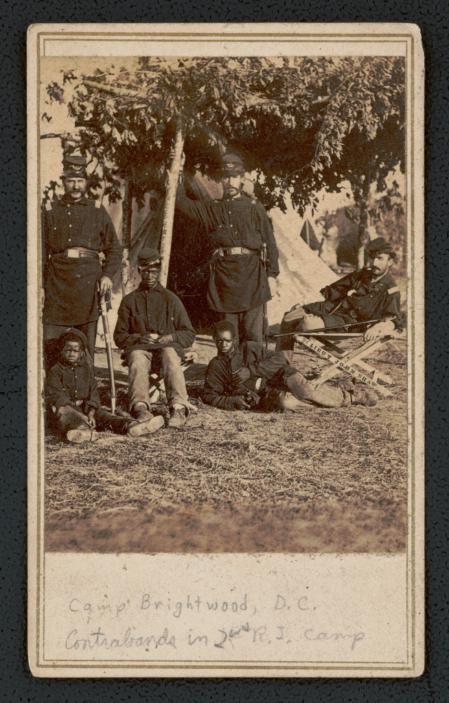
Long before the rowhouses arrived, free African Americans had put down roots here. Beginning in the 1820s, free Black families settled the community known as Vinegar Hill, near today's Georgia and Missouri Avenues NW; most were landowners by the time of the Civil War, and families held property in the area for generations afterward.7 This was one of Washington's early free African American settlements, established when the land was still rural Washington County rather than part of the city proper.
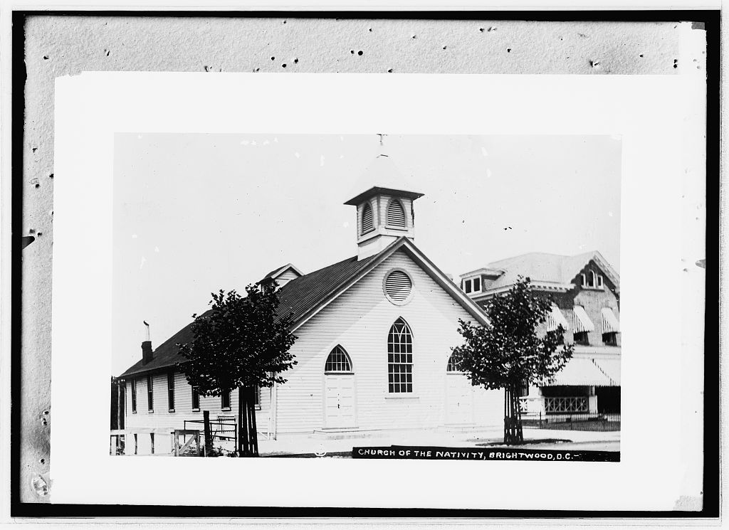
That community's institutions outlasted the war. The Military Road School traces its founding to 1864, when it was organized to educate the children of formerly enslaved people who had resettled near the fort; Congress had authorized public schooling for the District's African American children two years earlier, in 1862.16 The brick schoolhouse that survives today at 1375 Missouri Avenue NW is a later building, constructed in 1911–1912 to the design of Municipal Architect Snowden Ashford, and was listed on the National Register of Historic Places in 2003.17 Nearby, Emory Methodist Episcopal Church, founded in 1832, served as a hospital and barracks during the war and reorganized its congregation in 1867.18
Fort Stevens and the battle at the city's edge
When the Civil War began, the high ground above the 7th Street Turnpike became part of the ring of forts defending Washington. Union troops built Fort Massachusetts here in 1861, later enlarging it and renaming it Fort Stevens for Brigadier General Isaac Ingalls Stevens.8 The fort rose on land in the free Black community: Elizabeth Proctor Thomas, a free African American woman, had her house, barn, orchard, and garden seized and demolished in 1861 to make room for it.9 Decades later, in 1916, she was paid $1,835 in compensation for the loss; she died the next year, in 1917.10
The fort saw real combat only once. On July 11–12, 1864, Confederate Lieutenant General Jubal A. Early marched on Washington's northern defenses and was turned back by Union forces under Major General Horatio G. Wright.11 Roughly 10,000 Confederate and 9,600 Union soldiers were engaged, with something on the order of 874 casualties between the two sides.12 On July 12, President Abraham Lincoln watched the fighting from the fort's parapet and came under Confederate fire — the National Park Service describes it as the only time a sitting president came under direct fire from an enemy combatant.13
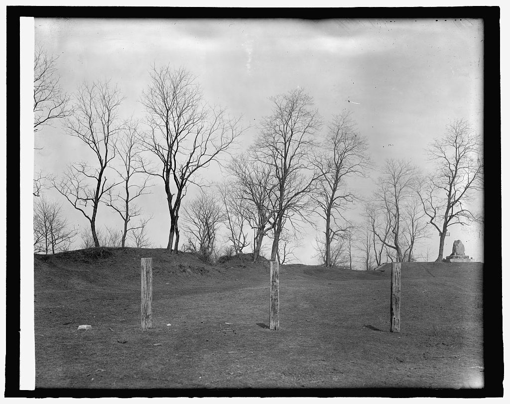
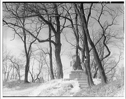
The dead were buried close by. Battleground National Cemetery, established in 1864 about half a mile north of the fort, is a roughly one-acre plot that is among the smallest national cemeteries in the country.14 Forty Union soldiers were interred there after the battle, and a single battle veteran was added in 1936.15
From streetcar suburb to Walter Reed
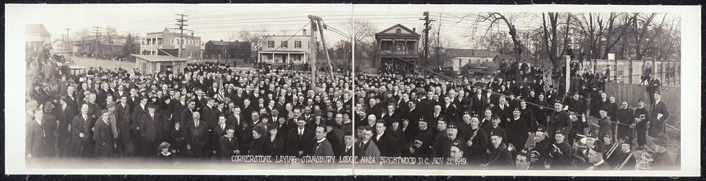
Brightwood grew up when the streetcar arrived. Congress chartered the Brightwood Railway Company on October 18, 1888, and the company took over the existing horsecar line in 1890.19 The line was converted to overhead electric power by congressional order in 1892 and reached Takoma Park in 1893, pulling the once-rural crossroads into the commuting orbit of the city.20 Residents organized the Brightwood Citizens' Association on March 17, 1891.21
Houses followed the tracks. The neighborhood's blocks include rowhouses built by Harry Wardman, Washington's most prolific developer, whose firm was active from 1899 to 1938 and whose chief architect was Mihran Mesrobian.22 In 1920 Wardman and a partner bought about 50 acres nearby, naming the subdivision Fort Stevens Ridge and beginning construction of moderately priced post–World War I homes in 1924.23
Much of that new housing came with strings attached. Racially restrictive covenants barring African American owners were used extensively across Ward 4, including Brightwood, in the early 20th century, as documented by the Mapping Segregation DC project.24 Those covenants became unenforceable after the Supreme Court's 1948 decision in Hurd v. Hodge, the Washington companion case to Shelley v. Kraemer.25
The neighborhood's other landmark institution was medical, not military. Walter Reed General Hospital opened on the Georgia Avenue side of Brightwood and Takoma in 1909, admitting its first patients on May 1 of that year, and was named for Major Walter Reed.26 After the 2005 Base Realignment and Closure round directed its merger with the Navy's Bethesda hospital, the District campus closed in 2011.27 The District has since acquired 66 acres of the former grounds and is redeveloping them as a mixed-use community, The Parks at Walter Reed, which broke ground in 2017.28
Brightwood today
Across the mid-20th century, as covenants fell after 1948 and blockbusting reshaped the upper city in the 1950s and 1960s, Brightwood changed from a predominantly white neighborhood to a majority African American one.29 Today it is home to large Salvadoran, Central American, and Ethiopian and Eritrean communities along the Georgia Avenue corridor in Ward 4.30
Every specific date, name, and figure above is sourced to the references below and on the resources page. Found an error? The point of this project is to get the history right — please tell us.
-
Cultural Tourism DC, Battleground to Community: Brightwood Heritage Trail. https://online.flippingbook.com/view/121782717 ↩
-
Georgia Avenue history (Brightwood Heritage Trail). https://en.wikipedia.org/wiki/Georgia_Avenue ↩
-
"Why Is It Named Georgia Avenue?", Ghosts of DC. https://ghostsofdc.org/2013/01/22/why-is-it-named-georgia-avenue/ ↩
-
Cultural Tourism DC, Brightwood Heritage Trail. https://online.flippingbook.com/view/121782717 ↩
-
Brightwood Heritage Trail; Brightwood (Washington, D.C.). https://en.wikipedia.org/wiki/Brightwood_(Washington,_D.C.) ↩
-
Cultural Tourism DC, Brightwood Heritage Trail. https://online.flippingbook.com/view/121782717 ↩
-
Cultural Tourism DC, Battleground to Community: Brightwood Heritage Trail. https://online.flippingbook.com/view/121782717 ↩↩
-
National Park Service — President Lincoln Under Fire at Fort Stevens (Civil War Defenses of Washington). https://www.nps.gov/articles/president-lincoln-under-fire-at-fort-stevens.htm ↩
-
National Park Service — Elizabeth Proctor Thomas. https://www.nps.gov/articles/featured_stories_thomas.htm ↩
-
American Battlefield Trust — Elizabeth Proctor Thomas. https://www.battlefields.org/learn/biographies/elizabeth-proctor-thomas ↩
-
American Battlefield Trust — Battle of Fort Stevens. https://www.battlefields.org/learn/civil-war/battles/fort-stevens ↩
-
American Battlefield Trust — Battle of Fort Stevens. https://www.battlefields.org/learn/civil-war/battles/fort-stevens ↩
-
National Park Service — President Lincoln Under Fire at Fort Stevens. https://www.nps.gov/articles/president-lincoln-under-fire-at-fort-stevens.htm ↩
-
National Park Service — Battleground National Cemetery. https://www.nps.gov/places/battleground-national-cemetery.htm ↩
-
National Park Service — Battleground National Cemetery. https://www.nps.gov/places/battleground-national-cemetery.htm ↩
-
DC Historic Sites (DC Preservation League) — Military Road School. https://historicsites.dcpreservation.org/items/show/383 ↩
-
DC Historic Sites (DC Preservation League) — Military Road School. https://historicsites.dcpreservation.org/items/show/383 ↩
-
DC Historic Sites (DC Preservation League) — Emory United Methodist Church. https://historicsites.dcpreservation.org/items/show/891 ↩
-
Streetcars in Washington, D.C. https://en.wikipedia.org/wiki/Streetcars_in_Washington,_D.C. ↩
-
Streetcars in Washington, D.C. https://en.wikipedia.org/wiki/Streetcars_in_Washington,_D.C. ↩
-
Brightwood (Washington, D.C.), citing the Brightwood Heritage Trail. https://en.wikipedia.org/wiki/Brightwood_(Washington,_D.C.) ↩
-
Cultural Tourism DC, Brightwood Heritage Trail (Sign 9). https://online.flippingbook.com/view/121782717 ↩
-
Fort Stevens Ridge. https://en.wikipedia.org/wiki/Fort_Stevens_Ridge ↩
-
Mapping Segregation DC (Prologue DC). https://mappingsegregationdc.org/about.html ↩
-
Hurd v. Hodge. https://en.wikipedia.org/wiki/Hurd_v._Hodge ↩
-
PBS American Experience — Walter Reed. https://www.pbs.org/wgbh/americanexperience/features/fever-walter-reed/ ↩
-
U.S. Army — Walter Reed, Bethesda on track for BRAC realignment. https://www.army.mil/article/61878/walter_reed_bethesda_on_track_for_brac_realignment ↩
-
DC Deputy Mayor for Planning and Economic Development — The Parks at Walter Reed. https://dmped.dc.gov/release/development-team-breaks-ground-66-acre-walter-reed-project ↩
-
Greater Greater Washington — How segregation shaped DC's Ward 4. https://ggwash.org/view/64764/how-segregation-shaped-dcs-northernmost-ward-4-petworth-brightwood-takoma-shepherdpark ↩
-
DC Office of Planning — About Ward 4. https://planning.dc.gov/page/about-ward-4 ↩↩